This excerpt from Kalhana’s Rajatarangini vol II, as translated and annotated by Aurel Stein, offers a compelling glimpse into one of the earliest and richest regional histories in India and one that is very attentive to the geography it describes. Kalhana was a 12th-century Kashmiri scholar best known for pioneering historical writing in India through his detailed and critical record of Kashmir’s past. Written in the mid-12th century CE, the Rajatarangini (River of Kings) chronicles the dynastic history of Kashmir, blending myth, legend, memory, and historical record.
What distinguishes this work from most other early Indian historical texts is its remarkably detailed and rooted sense of place. While ancient Indian literature often generalizes or mythologizes geography, Kalhana’s Kashmir is vividly, even topographically, real. He names temples, rivers, towns, and sacred sites with striking specificity. He mentions the shrine of Śārada in the northwest, the great springs of Papasudana and Tri-Samdhya, the shrine of Bhutesa near Martanda, and many others—some of which still survive in memory or ruin today. Kalhana does not merely gesture at these places; he situates them within real landscapes and historical narratives, suggesting a writer who knew these sites firsthand or drew from strong local traditions.
This excerpt does not contain a continuous narrative, but rather, selections from Kalhana’s first and later books, along with extensive footnotes and commentary by Stein. This selection focuses on how Kalhana’s chronicle can be used to reconstruct the historical geography of Kashmir. In doing so, Stein offers a meticulous analysis of the places mentioned, matching them with modern locations and archaeological remains, where possible.
Stein’s commentary is just as valuable as Kalhana’s verses. He draws attention to the uniqueness of Kalhana’s geographical awareness, especially for a Sanskrit author. For example, Stein observes that Kalhana was familiar not only with central Kashmir but also with regions as far-flung as Śārada (likely modern-day Sharada Peeth, now in Pakistan-occupied Kashmir), and that he often notes the distances between places, the order of towns along routes, and the importance of certain shrines or river crossings. These are not incidental details but are key to Kalhana’s historical method.
Stein also notes that Kalhana had access to a wide range of sources: epigraphic evidence, local chronicles, oral traditions, and perhaps most importantly, an enduring cultural memory preserved through pilgrimage, ritual, and physical landscape. This helps explain how the Rajatarangini could remain so detailed about places and events stretching back centuries.
Stein goes further to analyze how Kalhana’s geographic references enhance our understanding of Kashmir’s political and religious landscape. Sites are not randomly mentioned, but they reflect centers of power, religious influence, or routes of strategic importance. For instance, military campaigns are traced through identifiable routes in the valley, while shrines function as historical landmarks for royal patronage or public memory.
In Stein’s view, Kalhana’s Kashmir is not merely a backdrop for kings and conquests. It is a living landscape that is shaped by belief, memory and history. This is why the Rajatarangini remains an invaluable source, not only for dynastic history, but for understanding how space and place functioned in the historical imagination of early medieval India.
This chapter, with its combined use of Kalhana’s original Sanskrit, English translation, and footnoted analysis, provides a model of how textual study, historical geography, and archaeology can come together.
The want of detailed and exact geographical information just noticed in old Indian literature generally stands in striking contrast to the abundance of data supplied for our knowledge of old Kasmir by the indigenous sources. The explanation is surely not to be found in the mere fact that Kasmirian authors naturally knew more of their own country than others, for whom that alpine territory was a distant, more or less inaccessible region. For were it so, we might reasonably expect to find ourselves equally well informed about the early topography of other parts of India, which have furnished their contingent to the phalanx of Sanskrit authors. Yet unfortunately this is by no means the case.
The advantageous position we enjoy in Kasmir is due to a combination of causes of which the most important ones may at once be here indicated. In the first place, we owe it to the preservation of connected historical records from a comparatively early date, which acquaints us with a large number of particular localities and permits us to trace their connection with the country’s history.
Another important advantage results from the fact that Kasmir, thanks chiefly to its geographical position and the isolation resulting from it, has escaped those great ethnic and political changes which have from time to time swept over the largest portion of India. Local tradition has thus remained undisturbed and still clings to all prominent sites with that tenacity which is characteristic of alpine tracts all over the world. The information preserved by this local tradition in Kasmir has often proved for our written records a most welcome supplement and commentary.
Finally, it must be remembered that in a small mountain country like Kasmir, where the natural topographical features are so strongly marked and so permanent, the changes possible in historical times as regards routes of communication, sites for important settlements, cultivated area, etc., are necessarily restricted. The clear and detailed evidence which the facts of the country’s actual topography thus furnish, enables us to elucidate and to utilize our earlier data, even where they are scanty, with far greater certainty and accuracy than would be possible in another territory.
Epigraphical records on stone or copper, such as elsewhere in India form the safest basis for the study of local topography, have not yet come to light in Kasmir. The few fragmentary inscriptions hitherto found are all of a late date, and do not furnish any topographical information. In their absence Kalhana’s Rajatarangini is not only the amplest, but also the most authentic of our sources for the geography of Kasmir. The questions connected with the historical value of the work, its scope and sources, have been fully discussed in the introduction. Here we have only to consider its character as our chief source of information on the ancient topography of Kasmir.
It is doubtful whether Kalhana, writing for readers of his own country and time, would have deemed it necessary to give us a connected and matter-of-fact description of the land, even if the literature which he knew and which was his guide, had in any of its products furnished him with a model or suggestion for such description. The nearest approach to it is contained in a brief passage of his introduction, i.’ 25-38. This acquaints us in a poetical form with the legends concerning the creation of Kator and its sacred river, the Vitasta, and enumerates besides the most famous of the many Tirthas of which Kasmir has ever boasted in abundance. The few panegyric remarks which are added in praise of the land’s spiritual and material comforts, i. 39-43, do credit to the author’s love of his native soil. But they can scarcely be held to raise the above to a real description of the country.
Notwithstanding the absence of such a description, Kalhana’s Chronicle yet proves by far our richest source of information for the historical geography of Kasmir. This is due to the mass of incidental notices of topographical interest which are spread through the whole length of the narrative. They group themselves conveniently under three main heads.
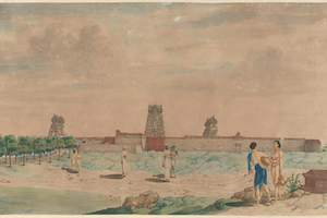
Considering the great attention which the worship of holy places has at all times claimed in Kasmir, we may well speak first of the notices which appertain to the Topographia sacra of the Valley. Kaimir has from early times to the present day been a land abundantly endowed with holy sites and objects of pilgrimages. Kalhana duly emphasizes this fact when he speaks, in the above quoted introductory passage, of Kasmir as a country ‘‘where there is not a space as large as a grain of sesamum without a Tirtha.” Time and even the conversion to Islam of the greatest portion of the population, has changed but little in this respect. For besides the great Tirthas which still retain a fair share of their former renown and popularity, there is scarcely a village which has not its sacred spring or grove for the Hindu and its Ziarat for the Muhammadan. Established as the latter shrines almost invariably are, by the side of the Hindu places of worship and often with the very stones taken from them, they plainly attest the abiding nature of local worship in Kasmir.
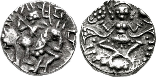
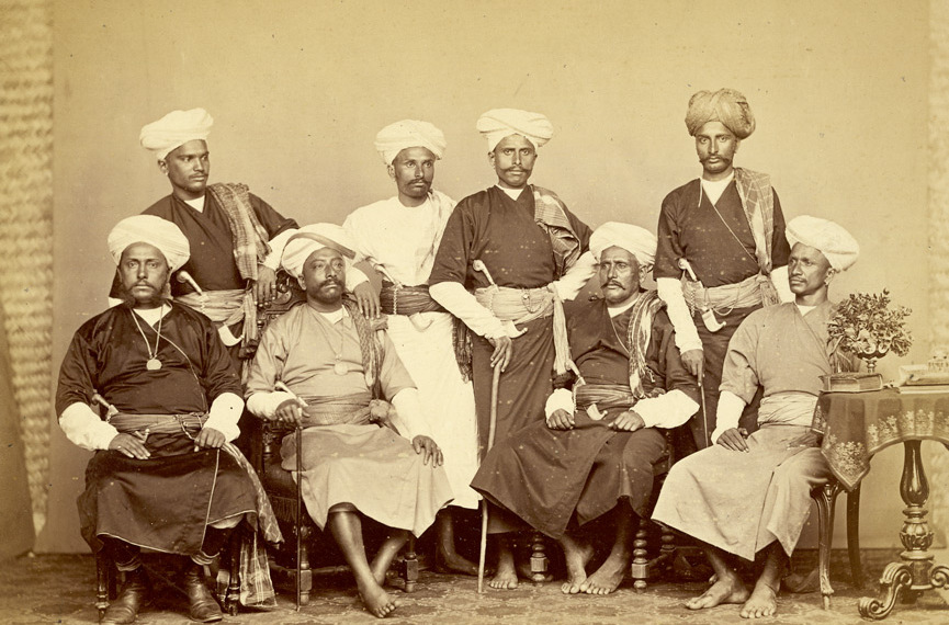
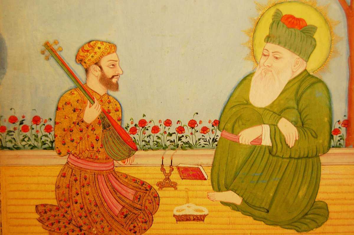
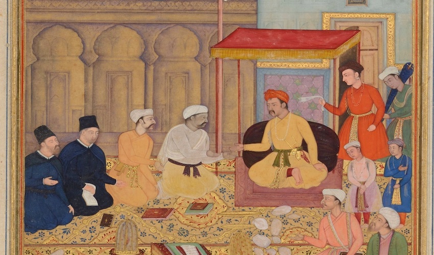
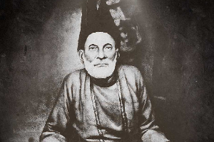
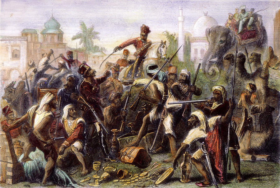
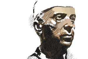
Figure: Harshadeva of Kashmir 1089-1101 CE
This cannot be the place to examine in detail the origin and character of these Tirthas and their importance for the religious history of the country. It will be enough to note that the most frequent objects of such ancient local worship are the springs or Nagas, the sacred streams and rivers, and finally, the so-called svayamhhu or ‘self-created’ images of gods which are recognized by the eye of the pious in various natural formations. These several classes of Tirthas can be traced throughout India wherever Hindu religious notions prevail, and particularly in the sub-Himalayan regions (Nepal, Kumaon, Kangra, Udyana or Swat). Yet there can be no doubt that Kasmir has from old times claimed an exceptionally large share in such manifestations of divine favour.
Nature has, indeed, endowed the Valley and the neighbouring mountains with an abundance of fine springs. As each of these has its tutelary deity in the form of a naga, we can realize why popular tradition looks upon Kasmir as the favourite residence of these deities. Hiuen Tsiang already had ascribed the superiority of Kasmir over other countries to the protection it received from a Naga. Kalhana, too, in the introductory passage already referred to, gives due prominence to the distinction which the land enjoys as the dwelling-place of Nila, king of Nagas, and many others of his tribe.
Kalhana’s frequent references to sacred springs and other Tirthas are of topographical interest, because they enable us to trace with certainty the earlier history of most of the popular pilgrimage places still visited to the present day. The introduction of the Chronicle names specially the miraculous springs of Papasudana and Tri-Samdhya, Sarasvati’s lake on the Bheda hill, the ‘Self created Fire’ (Svayambhu), and the holy sites of Nandiksetra, S’arada, Cakradhera and Vijayesa, We see here which were the Tirthas most famous in Kalhana’s time. The legends connected with the early semi-mythical kings give him frequent occasion in the first three Books to speak in detail of particular sacred sites. Almost each one of the stories furnishes evidence for the safe location of the latter. But even in the subsequent and purely historical portions of the work we read often of pilgrimages to such sacred places, or of events which occurred at them.
Kalnana shows more than once so accurate a knowledge of the topography of particular Tirthas that we may reasonably infer his having personally visited them. This presumption is particularly strong in the case of Nandiksetra, and of the neighbouring shrine of Bhutesvara. The former, his father Canpaka is said to have often visited in pilgrimage, and to have richly endowed. Also the distant Tirtha of S’arada in the Kisanganga Valley seems to have been known personally to the Chronicler. Pilgrimages to sacred sites, even when approached only with serious trouble, have always enjoyed great popularity among Kasmirians. And Kalhana owed perhaps no small part of his practical acquaintance with his country’s topography, to the tours he had made as a pilgrim.
Specially valuable from a topographical point of view are those numerous references which Kalhana makes to the foundation of towns, villages, estates, shrines, and buildings by particular kings. Leaving aside the curious list, i. 86-100, taken by Kalhana from Padmamihira, in which certain local names are by fanciful etymologies connected with seven of the ‘ lost kings’, it may be safely assumed that these attributions are based either on historical fact, or at least on genuine local tradition.
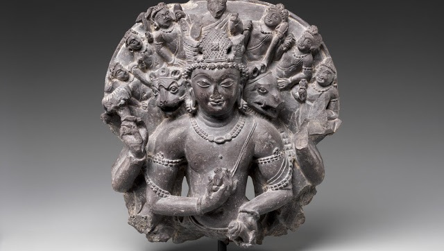
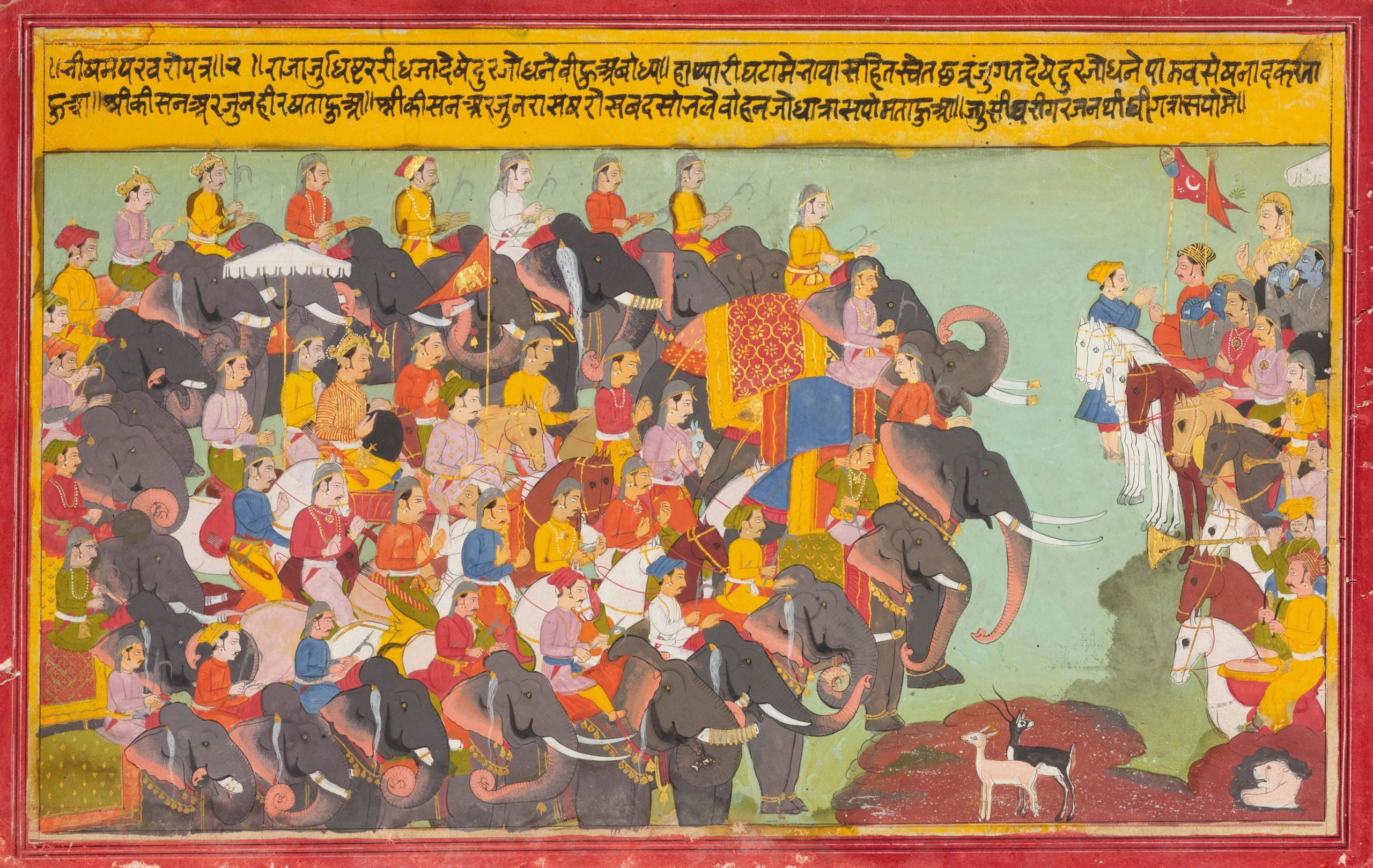
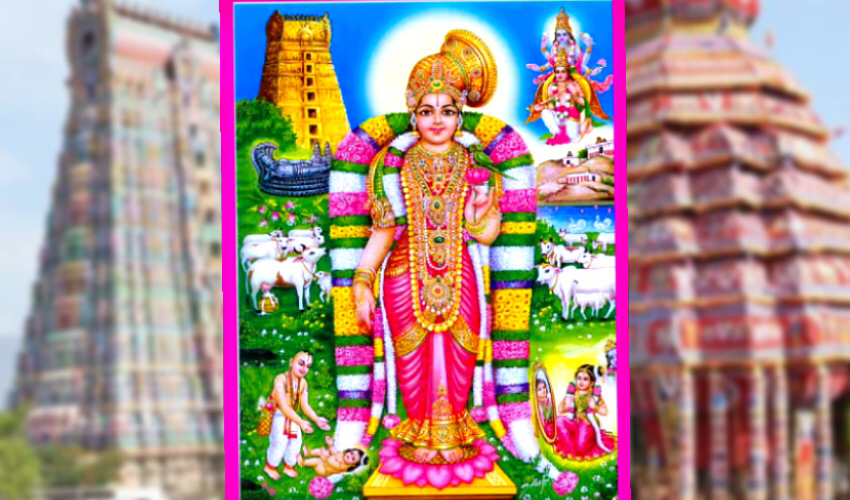
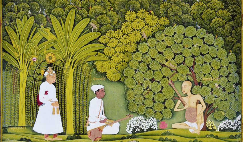
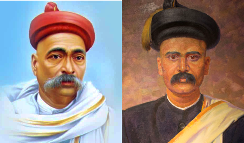
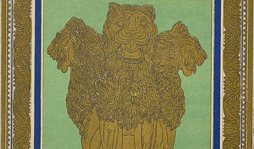
Figure: Vishvarupa Vishnu, India (Jammu and Kashmir, ancient kingdom of Kashmir)
Kalhana specially informs us in his introduction that among the documents he had consulted for his work, there were ‘the inscriptions recording the consecration of temples and grants [of land] by former kings.’ Such records, no doubt, supplied a great portion of the numerous notices above referred to. But even where such notices were taken from less authentic sources, they may always claim the merit of acquainting us with the names of the respective localities and buildings as used in the official language of Kalhana’s time, and with the traditions then current regarding their origin and date.
The system of nomenclature which was regularly followed in Kasmir in naming new foundations, must have helped to preserve a genuine tradition regarding the founder. In the vast majority of cases the names of new towns and villages are formed by the addition of -pura to the name of the founder, either in its full or abbreviated form. Similarly the names of temples, monasteries, Mathas, and other religious structures show the name of their builder, followed by terms indicating the deity or the religious object to which the building was dedicated. Many of these religious structures left their names to the sites at which they were erected. They can thus be traced to the present day in the designations of villages or city quarters.
The topographical interest which Kalhana’s notices of town foundations possess, is considerably enhanced by the fact that in more than one case they are accompanied by accurate descriptions of the sites chosen and the buildings connected with them. Thus Kalhana’s detailed account of the foundation of Pravarapura is curiously instructive even in its legendary particulars, and enables us to trace with great precision the original position and limits of the city which was destined to remain thereafter the capital of Kasmir. Similarly the description given of Parihasapura and its great shrines, has made it possible for me to fix with accuracy the site of the town which Lalitaditya’s fancy elevated for a short time to the rank of a capital, and to identify the remains of the great buildings which once adorned it. Not less valuable from an antiquarian point of view is the account given to us of the twin towns Jayapura and Dvdravati which King Jayapida founded as his royal residence near the marshes of Andarkoth.
Valuable as the data are which we gather from the two groups of notices just discussed, it may yet justly be doubted whether by themselves, that is, unsupported by other information, they could throw so much light on the old topography of Kasmir as the notices which we have yet to consider. I mean the whole mass of incidental references to topographical matters which we find interwoven with the historical narrative of the Chronicle.
It is evident that where localities are mentioned in close connection with a pragmatic relation of events, the context, if studied with due regard to the facts of the actual topography, must help us considerably towards a correct identification of the places meant. In the case of the previous notices the Chronicler has but rarely occasion to give us distinct indications as to the position of the sites or shrines he intended. In our attempts to identify the latter we have therefore only too often to depend either on the accidental fact of other texts furnishing the required evidence or to fall back solely on the comparison of the old with modern local names. That the latter course if not guided and controlled by other safer evidence, is likely to lead us into mistakes, is a fact which requires no demonstration for the critical student.
It is different with the notices, the consideration of which we have left to the last. Here the narrative itself, in the great majority of cases, becomes our guide.
It either directly points out to us the locality meant or at least restricts to very narrow limits the area within which our search must proceed. The final identification can then be safely effected with the help of local tradition, by tracing the modern derivative of the old local name or through other additional evidence of this kind.
For the purpose of such a systematic search it is, of course, a very great advantage if the narrative is closely connected and detailed. And it is on this account that Kalhana’s lengthy relation of what was to him recent history,is for us so valuable. An examination of the topographical notes in my commentary will show that the correct identification of many of the localities mentioned in the detached notices of the first six Books has become possible only by means of the evidence furnished by the more detailed narrative of the last two.
In this respect the accounts of the endless rebellions and other internal troubles which fill the greater portion of the reigns of the Lohara dynasty, have proved particularly useful. The descriptions of the many campaigns, frontiere-expeditions and sieges connected with these risings, supply us with a great amount of topographical details mutually illustrating each other. By following up these operations on the map, — or better still on the actual ground, as I was often able to do, — it is possible to fix with precision the site of many old localities which otherwise could never have emerged from the haze of doubt and conjecture.
A reference to the notes in which important sites and local names like Lohara, Gopadri, Mahasarit, Ksiptika, Holada, have been identified, will suffice to illustrate the above remarks.
It is impossible to read attentively Kalhana’s Chronicle and, in particular those portions which give fuller occasion for the notice of localities, without being struck with the exactness of his statements regarding the latter, and with, what I may call, his eye for matters topographical.
We must appreciate these qualities all the more if we compare Kalhana’s local references with that vague and loose treatment which topographical points receive at the hands of Sanskrit authors generally. If it has been possible to trace with accuracy the vast majority of localities mentioned in the Chronicle, this is largely due to the precision which Kalhana displays in his topographical terminology. It is evident that he had taken care to acquaint himself with the localities which formed the scene of the events he described.
Striking evidence for this is furnished by his description of the great operations which were carried out under Avantivarman with a view to regulating the course of the Vitasta and draining the Valley. Thanks to the exactness with which the relative position of the old and new confluence of the Vitasta and
Sindhu is described, before and after the regulation, respectively, it has been possible, even after so many centuries, to trace in detail the objects and results of an important change in the hydrography of the Valley. Equal attention to topographical details we find in numerous accounts of military operations. Of these it will suffice to quote here the descriptions of the several sieges of S’rinagar, under Sussala; the battle on the Gopadri hill in the same reign : the blockade of Lohara, with the disastrous retreat through the mountains that followed ; and — last but not least — the siege of the Sirahsila castle. The topographical accuracy of the latter account almost presupposes a personal examination of the site and is all the more noteworthy, because the scene of the events there recorded was a region outside Kasmir proper, distant, and difficult of access.
There are also smaller points that help to raise our estimate of Kalhana’s reliability in topographical matters. Of such I may mention for example the general accuracy of his statements regarding distances, whether given in road or time-measure. The number of marches reckoned by him is thus always easily verified by a reference to the stages counted on the corresponding modern routes. Not less gratifying is it to find how careful Kalhana is to distinguish between homonymous localities.
In addition to all this, we must give credit to our author for the just observation of many characteristic features in the climate, ethnography, and economical condition of Kasmir and the neighbouring regions. If the advantages thus accorded to us are duly weighed, there seems every reason to congratulate ourselves on the fact that the earliest and fullest record of Kasmir history that has come down to us, was written by a scholar of Kalhana’s type. Whatever the shortcomings of his work may be from the critical historian’s point of view, we must accord it the merit of supplying a safe and ample basis for the study of the historical geography of Kasmir.
Topography was not just background in medieval Kashmir; it shaped every political move, religious practice, and military campaign. Kalhana’s Rajatarangini stands apart in early Indian literature because it embeds geography deeply into the historical narrative, providing an unparalleled map of Kashmir’s medieval landscape. Unlike most Sanskrit texts, which often omit precise local details, Kalhana’s chronicle is rich with exact references to towns, rivers, forts, pilgrimage sites, and natural features.
One of the reasons for this precision is the availability of local records such as temple inscriptions and land grants, which linked political authority to specific locations. When new towns or villages were founded, Kalhana records their names—often formed by adding -pura to the founder’s name—along with descriptions of their sites and notable buildings. This systematic nomenclature helps trace many medieval settlements to their modern equivalents.
Beyond formal records, Kalhana’s narrative contains incidental references to geography tied to historical events. Campaigns, sieges, and rebellions during the Lohara dynasty, for example, offer detailed information about routes, mountain passes, and river crossings. His account of the siege of Sirahsila castle, far from Kashmir’s heartland, demonstrates a precise knowledge of difficult and remote terrain. This allows historians to pinpoint sites that would otherwise be lost in time.
Environmental changes also appear in the chronicle. Kalhana describes the regulation of the Vitasta river by King Avantivarman, including the shift of its confluence with the Sindhu river. These descriptions have enabled modern researchers to locate these ancient hydraulic works centuries later.
Kalhana’s precision extends to distances, which he measures in marches or road length with remarkable accuracy. He also carefully distinguishes between places sharing the same name, reducing confusion. This detailed geographic knowledge suggests Kalhana personally visited many sites or relied on firsthand information.
Altogether, Rajatarangini is more than a historical record; it is a foundational text for reconstructing Kashmir’s medieval geography. Its combination of documentary evidence, tradition, and detailed narrative provides a uniquely reliable guide to the region’s physical and cultural landscape.
This excerpt has been carried from Kalhana’s Rajatarangini, Vol. II by the kind permission of Motilal Banarsidass Publishing House and you can buy the book by clicking on the book cover below.


Leave a Reply